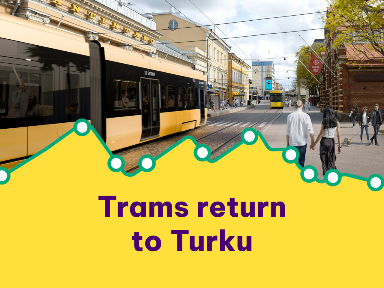
Turku tramway preliminary street plans
The preliminary street plans show how streets along the tram route would change if Turku decides to build the tramway.

Check out the preliminary street plans
The preliminary street plans show how streets along the tram route would change if Turku decides to build the tramway. Preliminary street plans have been published for the entire 12 kilometres of the tramway route from the ferry terminal via the city centre and Kupittaa to Varissuo.

What is in the preliminary street plans?
Preliminary street plans have been published for the entire 12 kilometres of the tramway route from the ferry terminal via the city centre and Kupittaa to Varissuo. The plans show the tramway route, lanes, bike and pedestrian paths and green spaces.
Where can I see the preliminary street plans?
The preliminary street plans for the Turku tramway are divided into three sections: west, centre and east. The links below take you to the preliminary street plans for each section in PDF format, as well as the planning statements for each street. The statements and plans are in finnish.
How would the Tramway change Turku?
See illustrations based on the preliminary street plans in our material bank.

What happens next?
We will review all feedback we receive and use the responses and comments where applicable in the next stage of planning. A summary of the comments received will also be submitted to the City Council in spring 2026 together with other supporting documentation on the tramway.
If the decision is made to build the tramway, the preliminary street plans will be finalised and submitted to the City of Turku Urban Environment Committee for approval in accordance with standard procedure. The plans will also be made public for residents to view before they are approved.